GeoProc.com
GeoProc.com

Photogrammetry test

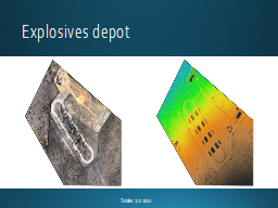
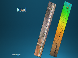
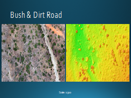
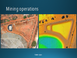
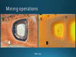
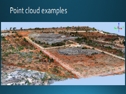
Survey done with a gyrocopter and standard camera equipment (Canon), processed with Pix4D software.

Click here to start

Table of contents

Author: GeX Surveys

Slide 1 Photogrammetric test Airborne photography - photogrammetry Distribution of ground control points (GCP) DSM & orthophoto mosaic Comparison SRTM (30 m) vs DSM (0.18 m) Slide 7 Selected areas at higher resolution Explosives depot Explosives depot Explosives depot Explosives depot Roadway Roadway Roadway Electric power sub-station Electric power sub-station Electric power sub-station Electric power sub-station Electric power sub-station Mining operations Mining operations Mining operations Mining operations Examples of point cloud Point cloud examples Point cloud examples Point cloud examples Point cloud examples Contact


Published date: 18 Jan 2016.